King's Knot Survey Updated Results
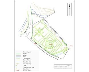
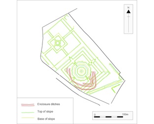
The first illustration here shows our topographic survey of surviving features. The second illustration shows the triple ditch enclosure revealed in aerial photographs, and first transcribed in 1975, placed in our survey.
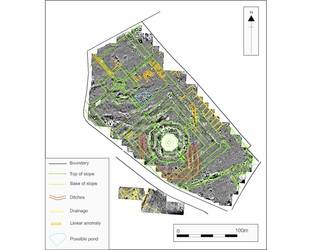
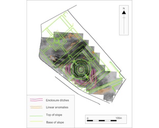
The third and forth illustrations here show the results of the magnetic survey and resistivity survey with interpretation of main features.
Click on any image below for an enlarged picture with caption ( the four pictures can then be viewed together as a slide show)
The third and forth illustrations here show the results of the magnetic survey and resistivity survey with interpretation of main features.
Click on any image below for an enlarged picture with caption ( the four pictures can then be viewed together as a slide show)


